From Field Data to Accurate Digital Models
Surveying, Geospatial and Property Valuation Services
GeoDrone combines civil engineering expertise with modern LiDAR, drone, GNSS and GIS technologies. We undertake the surveying, processing and technical assessment of buildings, land, infrastructure and utility networks, delivering reliable data for design, construction, asset management and informed decision-making.
Advanced Surveying and Technical Analysis Services
From dense point clouds to interactive geospatial systems and evidence-based valuations.
LiDAR and 3D Scanning
Measurable 3D reality capture
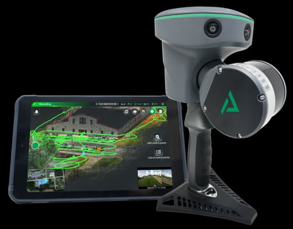
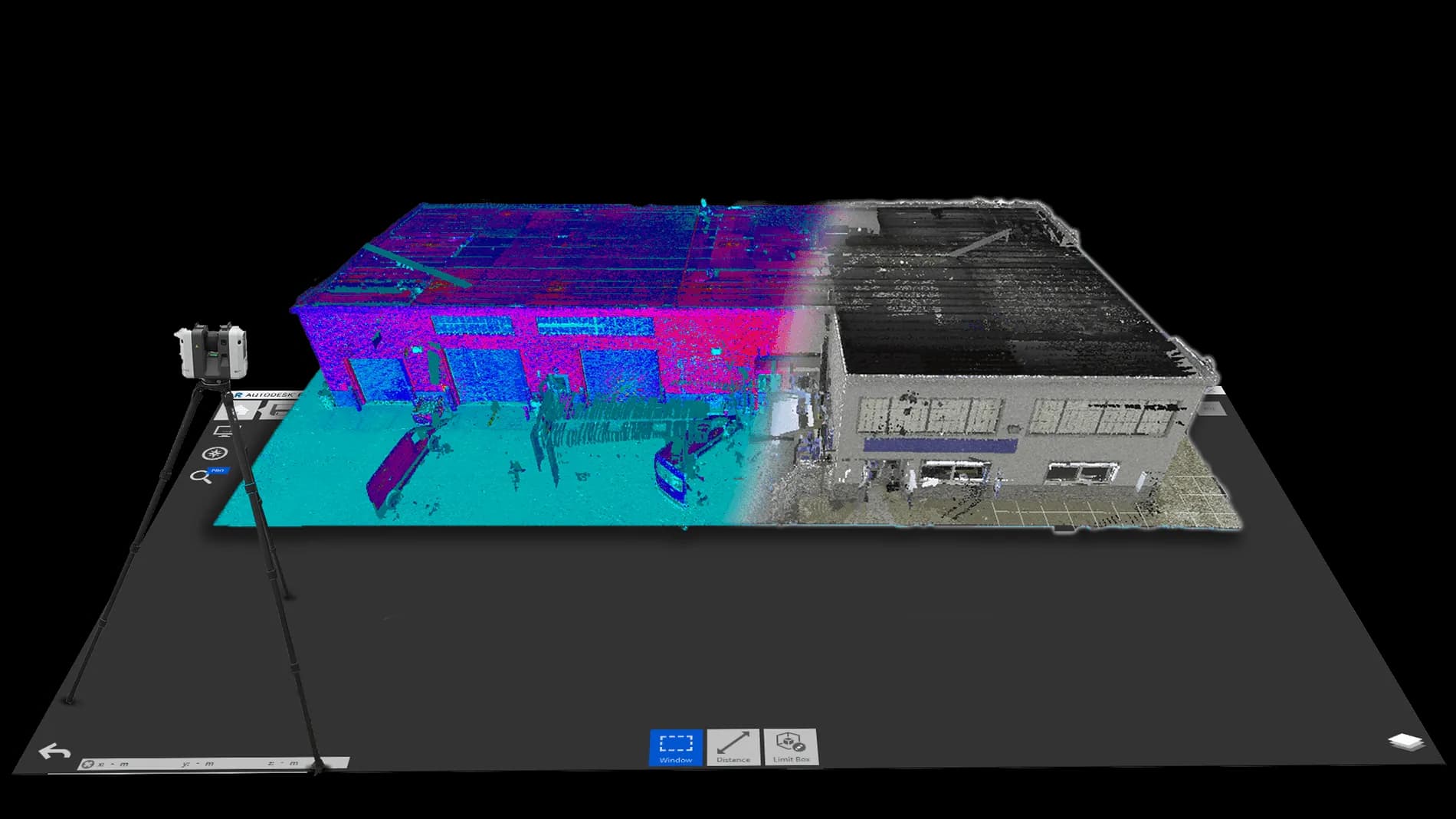
Three-dimensional surveying of buildings, facilities and engineering structures through the production of dense point clouds and measurable digital models.
- As-built surveys of existing buildings
- Production of floor plans, elevations and sections
- Documentation of complex or inaccessible areas
- Scan-to-CAD and Scan-to-BIM workflows
Drone Mapping and Photogrammetry
Rapid, comprehensive aerial surveys
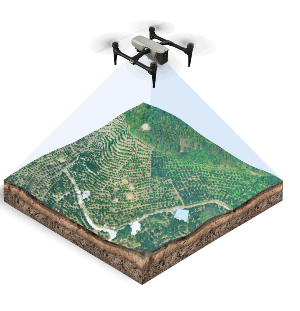
Aerial surveys using drones for the rapid and comprehensive mapping of land, construction sites, quarries, buildings and technical infrastructure.
- Orthophoto production
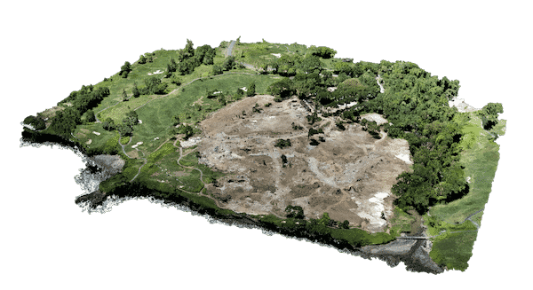
- 3D models of terrain and structures
- Digital Surface Models and Digital Terrain Models
- Cut-and-fill and stockpile volume calculations
GIS and Geospatial Databases
From scattered data to a working system
We transform scattered drawings, spreadsheets and survey measurements into structured and usable geospatial information.
- Mapping of water supply and sewerage networks
- Management of infrastructure and technical assets
- Digitisation and georeferencing of technical drawings
- Development of geospatial databases
Property Valuation
Evidence-based property valuation
Evidence-based valuation of residential properties, commercial properties, plots and land, combining technical inspection, market research and appropriate valuation methodologies.
- Property purchase or sale
- Price negotiation
- Private financial assessment
- Distribution or utilisation of property assets
From Measurement to Usable Deliverables
We do not simply deliver raw survey data. We organise and process information so that it can be used directly by engineers, architects, contractors, property owners, investors and infrastructure managers.
An Integrated Technical Approach
Definition of Project Requirements
We assess the purpose of the project, required accuracy, site area, field conditions and the preferred format of the final deliverables.
Data Collection
We select the most suitable combination of ground surveying, GNSS, LiDAR, drone mapping and existing technical data.
Processing and Quality Control
The collected data are checked, organised and converted into technically usable information.
Delivery and Technical Support
We provide the agreed files and clearly explain their structure, accuracy and potential applications.
Other Engineering Services
Beyond geospatial work, we also cover the everyday needs of buildings and properties.
Structural Design of Buildings
Structural studies for new builds and existing structures.
Energy Certificates (PEA)
Energy performance certificates for properties.
Legalizations of Buildings
Legalisation of unauthorised constructions.
Energy Upgrade Subsidies
Support for building energy-saving subsidy programmes.
3D Visualization
Architectural 3D visualisation and renders.
Surveying Services
Topographic surveys and diagrams.
Do You Have a Project Requiring Accurate Surveying or Technical Assessment?
Send us the location, approximate project area, intended purpose and any available drawings or files. We will recommend the appropriate methodology and required deliverables.